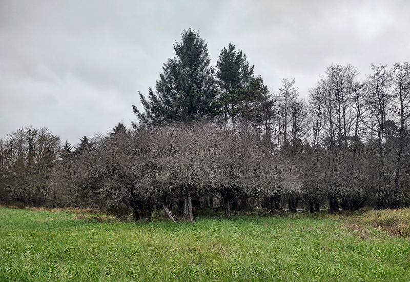
Neacoxie Prairie includes wetlands and forests of Sitka spruce and native crabapple on both sides of Neacoxie Creek.
When you think of plains, you may envision the vast, flat expanses of land that are abundant in the Midwest, where there’s hardly a ripple to be found. The sandy, wavering stretch of the Clatsop Plains is quite different.
Influenced by the mighty Columbia River and the majestic Pacific Ocean, the plains are composed of a dune-swale system that has developed over the past 5,000 years. Several rows of parallel dunes spread east of the ocean, with low grounds in between. The landscape has evolved to include native prairie, treed shelterbelts and other habitats that are now rare in the state of Oregon.
Here “on the edge,” the geology also evolves more rapidly than that of inland areas because of the interplay between wind, sand, water and sediment, according to Executive Director Katie Voelke.
Within the Clatsop Plains exists rich, viable wildlife habitat. That’s why it’s the centerpiece of North Coast Land Conservancy’s Neacoxie Wildlife Corridor Initiative—one of five conservation initiatives that guide the organization’s acquisition and stewardship decisions.
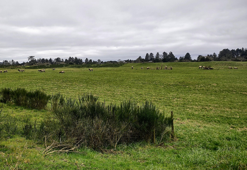
Reed Ranch is emerging as a wildlife refuge linking conservation efforts all the way from Fort Stevens State Park to the Necanicum estuary.
The Neacoxie Corridor encompasses about 10 reserves, many of which are west of U.S. Highway 101 and that are directly associated with the main part of the Neacoxie Creek and Neacoxie Lake. Some well-known reserves within this connected landscape include Reed Ranch, Neacoxie Prairie, Neacoxie Wetlands and Gearhart Fen.
The corridor is home to various plants and riparian forest. Those elements, coupled with the land’s proximity to the Pacific Ocean, create critical habitat for migrating birds. Coming right off the Pacific, the birds find the food and rest they need along their journey, making it “an important habitat of the Pacific Flyway,” where birds rely on a chain of habitats along the coast from Alaska to Patagonia, Katie says.
Take the native Pacific crabapple, for example, which is abundant in the Neacoxie Prairie. It goes to fruit later in the season, making it one of the last significant food sources for the migrating birds.
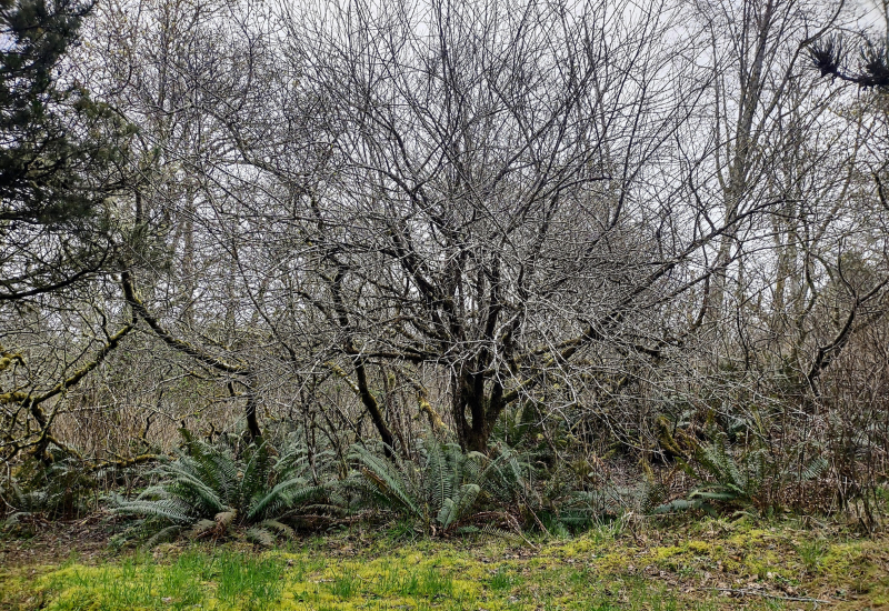
A native crabapple at Shamrock Pines Habitat Reserve.
Elk, beaver, and other wildlife also use the corridor, and the lands are potential habitat for the threatened Oregon silverspot butterfly. Gearhart Fen is the largest contiguous wetland of its kind remaining on the northern Oregon Coast. Less acidic than bogs, fens have higher nutrient levels and can support a more diverse animal and plant community, including a rare butterfly species and carnivorous sundew plants.
Over time, NCLC—with the help of partnering entities—has conserved several adjacent spots along the Clatsop Plains prairie, connecting forests and wetlands and cultivating a safe haven. The focus is now long-term stewardship.
“It is very rich habitat,” Katie says. “This Neacoxie Corridor is really supporting the wildlife in this area.”
Comments